In developing the draft Neighbourhood plan members of the Forum have been collating evidence to support the policies outlined in the plan.
Please take some time to review the documents and share any comments you may have via the contact page or as part of the consultation on the draft plan.
| Background Papers |
|---|
| Built Environment |
| Housing |
| Local Economy |
| Natural Environment |
| Settlement Boundary |
| Local Green Spaces and Protected Open Space |
| Community Wellbeing |
| Transport |
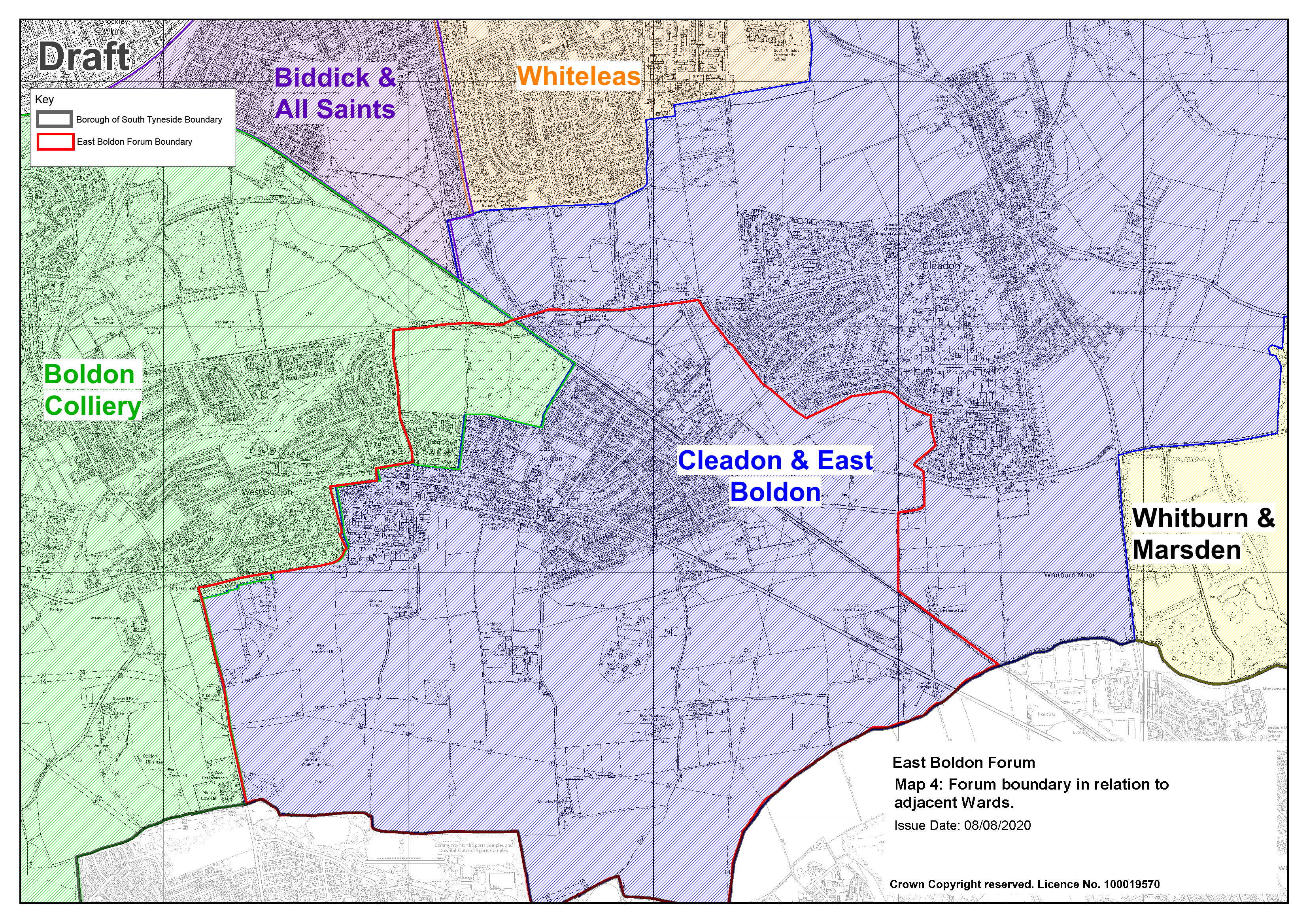
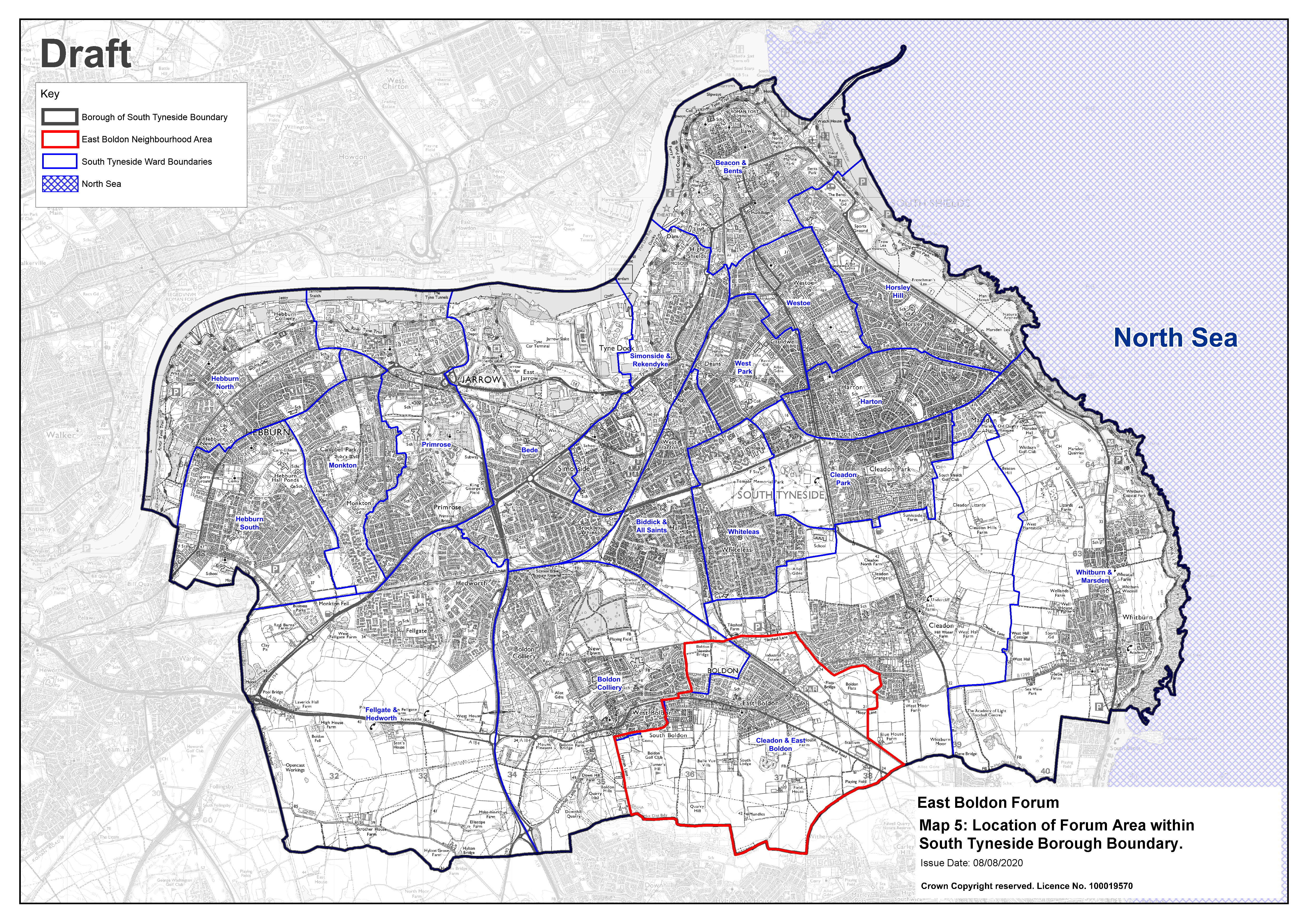
The plan and background papers refer to a number of maps which can be accessed below.
There are also a number of other supporting documents produced by the Forum which may be of interest.
The Forum commissioned AECOM to produce a Design Code and to conduct a Housing Needs Assessment
| AECOM Documents |
|---|
| Aecom Design Code |
| Aecom Housing Needs Assessment |