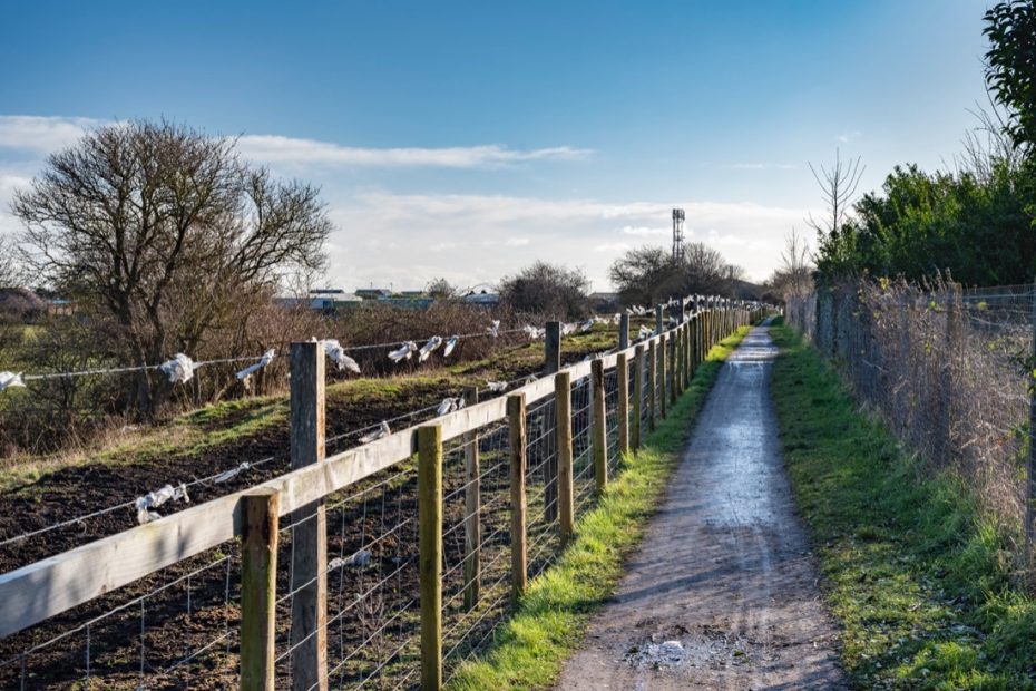
Proposals to improve or extend the walking and cycling network within the plan area will be supported.
The walking and cycling network include those routes that are used by pedestrians, cyclists and horse-riders. They provide recreation and leisure opportunities and also promote healthy living. Routes can include established pathways and cycle routes, public rights of way, bridle paths and paths of a more informal nature.
Important routes in the area are identified on the Paths, Tracks and PROW Map of Annex 3 to the Plan and include Mundles Lane, the bridleway adjoining the railway line, land at North Farm, Boker Lane and the Boker Lane Bridleway.
As part of the response to the council’s consultation on their local cycling and walking investment plan, the forum provided a comprehensive response identifying important routes in and around the village, including linkages to other areas. The full response is available on the forum website and further details are included within the transport and movement background paper.
Policy EB23 seeks to support proposals to improve or extend the walking and cycling network within the plan area, as well as protecting existing routes, supporting the delivery of plan objectives 1, 3, 6 and 8.
